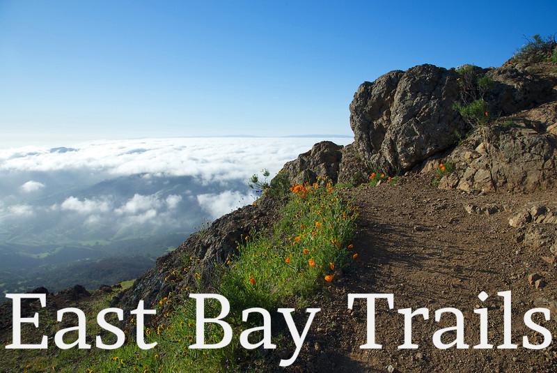
Trail Directory
Trails in the San Francisco East Bay are managed by numerous agencies and organizations. The Trail Directory is designed to help hikers and runners sort through options for treking throught the East Bay Trails. If I've missed anything, please let me know.
-
East Bay Regional Park District (EBRPD)
The EBRPD manages over 1,150 miles of trails in the East Bay, and offers numerous activities in their 108,000+ acres of open space.-
Website of East Bay Regional Park District
-
EBRPD Trail Maps
-
Wednesday walk guide and regional trail mileage guides
-
Trail closures in the EBRPD
-
Challenge yourself to hike this year!
-
Organization dedicated to supporting the East Bay Regional Park District
-
-
East Bay Municipal Utility District (EBMUD)
EBMUD manages over 80 miles of trails through 27,000 acres of open space. TRAIL PERMIT REQUIRED-
Access information about East Bay Mud trails
-
You need a permit to hike the EBMUD trails. Get your permit here.
-
Latest map of open trails in the north watershed
-
Latest map of open trails in the south watershed (PDF)
-
Map of the Lafayette Reservoir Recreation Area
-
-
Mt. Diablo State Park
One of the most beautiful parts of California, and it's in the East Bay! The park offers miles of trails, loads of wildlife and numerous activities.-
Official Mt. Diablo web site
-
Limited map and brochure put out by the California State Parks system
-
Great non profit organization that assists the state in maintaining and interpreting the park
-
Suggested hikes on Mt. Diablo from MDIA
-
Non profit dedicated to preserving and protecting Mt. Diablo
-
Yelp is a review site, and some of the reviewers offer useful information
-
-
Bay Area Ridge Trail
Mission is to create a 550+ mile trail along the S.F. Bay ridge line, including the East Bay-
Website of the Bay Area Ridge Trail
-
Trail maps of the East Bay portion of the Bay Area Ridge Trail
-
Visual map of the Bay Area Ridge Trail
-
-
City of Walnut Creek
Walnut Creek offers hikes and on going programs in their open space-
Maps, programs and other information
-
Maps to open space managed by Walnut Creek
-
-
City of Oakland
Oakland manages beautiful trails in their Joaquin Miller Park and Sausal Creek watershed-
Joaquin Miller Park general information and website
-
Trail map of Joaquin Miller Park
-
Trail map of Sausal Creek watershed
-
-
Don Edwards S.F. Bay National Wildlife Refuge
Refuge dedicated to preserving and protecting wildlife and habitat in the San Francisco Bay-
Federal government's official website of Don Edwards Wildlife Refuge
-
Brochure and high level map of the wildlife refuge
-
Trail map of the Fremont section of the refuge
-
Trail map of the Alviso section of the refuge
-
